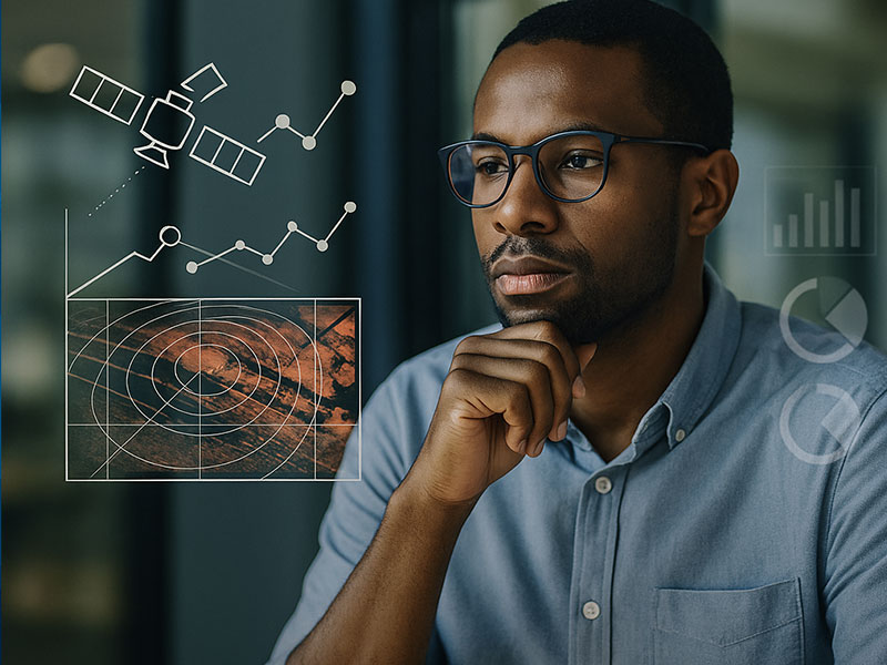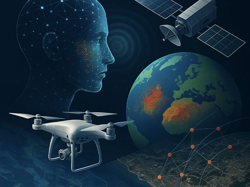
Artificial Intelligence (AI) is no longer just an emerging concept—it’s actively reshaping how we use remote sensing across defense, disaster response, infrastructure monitoring, and environmental management. At CyOak Consulting®, we’ve built our mission around advancing decision dominance through innovative technologies like Synthetic Aperture Radar (SAR) and AI/ML integration.
But the impact isn’t just technical—it’s geopolitical. In today’s world, where information dominance translates into economic advantage and national security, AI-enhanced remote sensing is becoming a strategic capability. Here are three ways it’s already changing the game.
1. Transforming Big Data into Fast, Actionable Insight
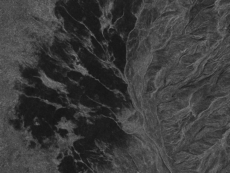
Remote sensing systems—from satellites to airborne sensors—generate enormous amounts of data every day. Traditionally, analysts could spend weeks combing through imagery to extract what matters. In fast-moving geopolitical crises, that delay can mean the difference between foresight and surprise.
AI flips this dynamic. By automating detection of troop movements, port activity, or changes in critical infrastructure, AI reduces analysis time from weeks to hours. This speed enables governments, businesses, and NGOs to act quickly—whether it’s sanction enforcement, humanitarian aid delivery, or maritime security operations. In an era of contested domains, time is power, and AI ensures decisions are informed at the speed of relevance.
Case Study: Ukraine Conflict
Commercial SAR paired with AI-based change detection has allowed governments, media, and NGOs to monitor troop buildups, artillery positions, and infrastructure damage in near-real time—reshaping both battlefield awareness and public transparency.
2. Predicting What Comes Next in a Shifting World
Geopolitics thrives on uncertainty. From climate-driven migration to the competition for Arctic shipping lanes, leaders are confronted with dynamic challenges that cross national boundaries. AI-enhanced remote sensing doesn’t just describe the present—it predicts what comes next.
By training models on historical and real-time SAR and multispectral data, AI can forecast events such as food insecurity from drought, infrastructure stress from urban growth, or flashpoints from territorial encroachment. For governments and commercial operators, these predictive insights allow proactive planning, helping them position resources, mitigate conflict risks, and maintain strategic advantage.
Case Study: South China Sea
AI applied to SAR imagery has enabled continuous tracking of maritime activity in contested waters, from island construction to illegal fishing. These insights support both diplomatic negotiations and enforcement of international maritime law.
3. Democratizing Intelligence Beyond the Superpowers
Remote sensing used to be the domain of a few nations with billion-dollar programs. AI is changing that. By embedding machine learning into commercial platforms, local governments, regional coalitions, and even private companies can leverage the same kind of analysis once reserved for intelligence agencies.
This democratization has geopolitical consequences. Nations and organizations without traditional intelligence infrastructures can now monitor borders, track illicit activity, and verify treaty compliance independently. In a world of contested narratives, AI in remote sensing offers transparency as power, leveling the playing field and amplifying smaller actors’ voices on the global stage.
Case Study: Arctic Shipping Routes
As ice coverage declines, Arctic trade routes are opening. AI-enhanced SAR monitoring helps smaller Arctic nations track vessel traffic and environmental impacts, ensuring they remain key players in shaping future shipping regulations and sovereignty debates.
The CyOak Advantage
At CyOak Consulting®, we specialize in helping organizations harness the full potential of SAR and AI. Our training programs, including the SAR 2-Day Seminar and Advanced Analyst Courses, are designed to demystify SAR and AI, delivering practical skills for real-world missions with both local and global implications.
We don’t just talk about the promise of AI in remote sensing—we teach it, apply it, and help our partners integrate it into strategies that matter. Whether it’s monitoring geopolitical hotspots, preparing for natural disasters, or strengthening commercial resilience, our solutions empower organizations to stay ahead of change.
Ready to explore how AI and SAR can transform your decision-making in a complex geopolitical environment?
Contact us at [email protected] or register for our upcoming SAR Seminar to gain hands-on insight into the tools already shaping the future.