The Power of Critical Thinking in a Data-Driven World
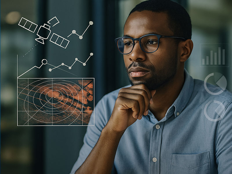
At CyOak Consulting®, we recognize a defining truth: technology alone does not create understanding. Whether it’s Synthetic Aperture Radar (SAR), remote sensing systems, or AI/ML-powered analytics, these advanced tools are only as effective as the human insight behind them. True intelligence isn’t about gathering more data—it’s about thinking more clearly. In an era where every decision is surrounded by […]
3 Ways AI in Remote Sensing Is Already Changing the Game
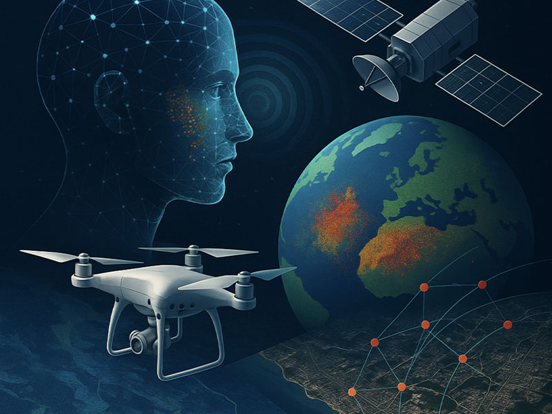
Artificial Intelligence (AI) is no longer just an emerging concept—it’s actively reshaping how we use remote sensing across defense, disaster response, infrastructure monitoring, and environmental management. At CyOak Consulting®, we’ve built our mission around advancing decision dominance through innovative technologies like Synthetic Aperture Radar (SAR) and AI/ML integration. But the impact isn’t just technical—it’s geopolitical. […]
Unlocking Environmental Insight: The Adaptability of SAR Across Sectors
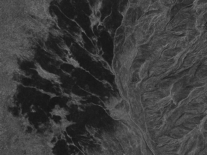
In an era of rapid environmental change, Synthetic Aperture Radar (SAR) offers unmatched visibility—day or night, through clouds, smoke, or rain—making it a vital tool for monitoring both sudden disasters and long-term ecological trends. At CyOak Consulting®, we’re harnessing the power of SAR, paired with AI, to deliver real-time insights and predictive intelligence for industries facing complex environmental challenges.
Geospatial Intelligence
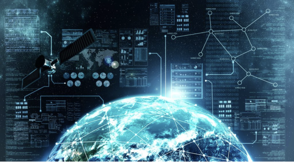
Geospatial Intelligence or GEOINT is information that is compiled from analyzing data and images that are linked to a specific location. GEOINT uses imagery to survey and assess human activity and physical geography anywhere on Earth. It is used to analyze the locations of billions of cell phone users, cars, ATM transactions and online activities. […]
Geographic Information System (GIS)

What is GIS? It is a digital tool that allows us to gather geographic information (spatial relationships, patterns, and data) and store, analyze and make a visual of that information for a better understanding of how to utilize land and resources in the most efficient way. It connects data and geography to It is used […]