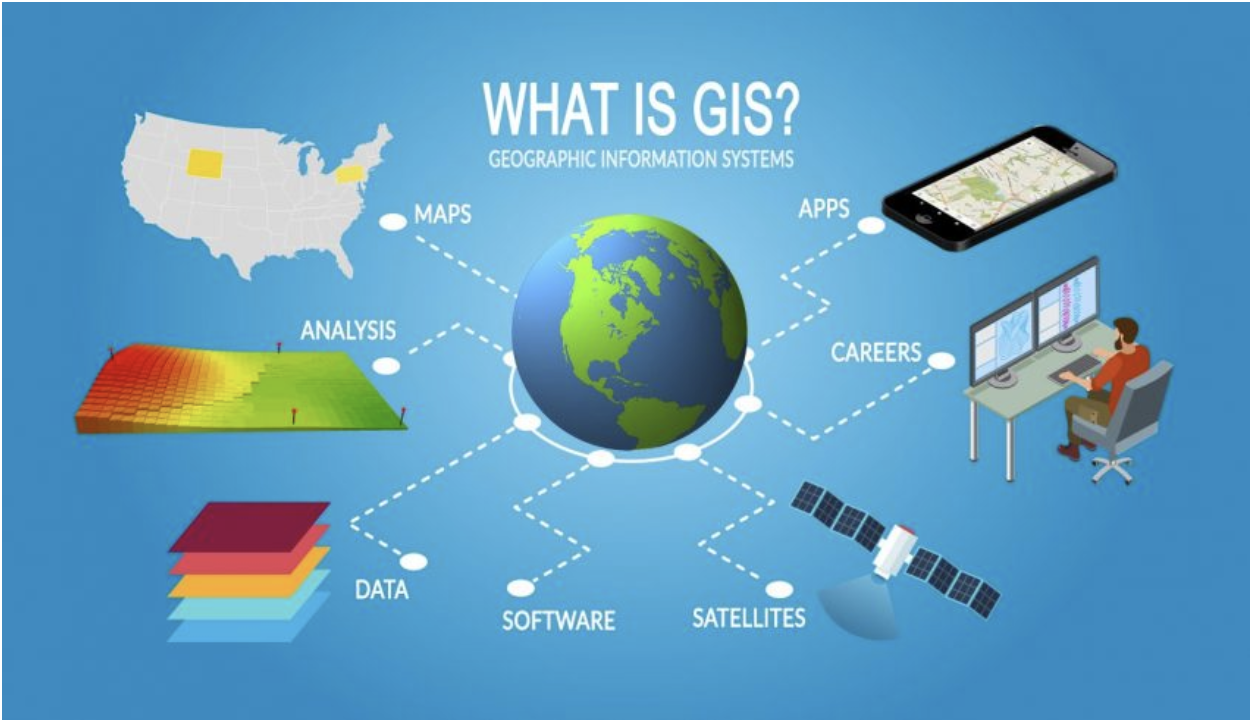
What is GIS? It is a digital tool that allows us to gather geographic information (spatial relationships, patterns, and data) and store, analyze and make a visual of that information for a better understanding of how to utilize land and resources in the most efficient way. It connects data and geography to It is used in a multitude of fields such as urban planning, transportation, conservation, agriculture, public safety, engineering, insurance, telecommunication, etc. With a multitude of real-life applications, GIS is something that benefits the general population every single day. If you use a GPS system for travel or check the weather online, you can thank GIS. Because the use of Geographic Information Systems is so vast, GIS supplies an enormous percentage of the information used by local governments to make their decisions about the social and economic infrastructure of their cities.

The Power of Critical Thinking in a Data-Driven World
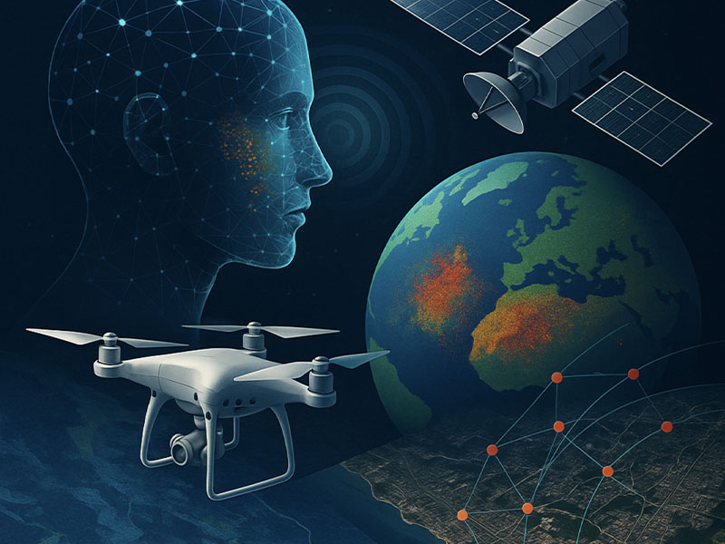
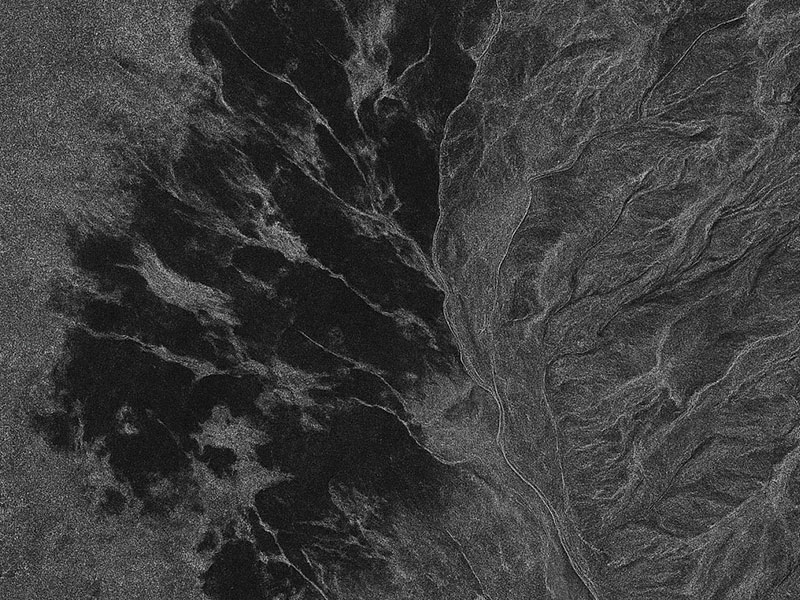
At CyOak Consulting®, we recognize a defining truth: technology alone does not create understanding. Whether it’s Synthetic Aperture Radar (SAR), remote sensing systems, or AI/ML-powered analytics, these advanced tools