Geospatial Intelligence or GEOINT is information that is compiled from analyzing data and images that are linked to a specific location. GEOINT uses imagery to survey and assess human activity and physical geography anywhere on Earth. It is used to analyze the locations of billions of cell phone users, cars, ATM transactions and online activities. Images taken from satellites can provide useful information to people who work in agriculture, law enforcement, security consulting firms, disaster relief, and so much more. GEOINT also assists our armed forces with critical and lifesaving information about the location of enemy forces, offers support for combat operations, and maps out geographic locations for battle.

The Power of Critical Thinking in a Data-Driven World
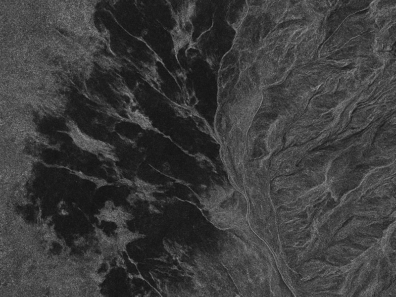
At CyOak Consulting®, we recognize a defining truth: technology alone does not create understanding. Whether it’s Synthetic Aperture Radar (SAR), remote sensing systems, or AI/ML-powered analytics, these advanced tools