What is a “Geospatial Technology”? What does it mean for our daily lives and how does it affect us on a regular basis? When we asked the Owner of CyOak Consulting what it meant for us in layman’s terms, here’s what he had to say:
“I think the simplest way to explain Geospatial Technologies is a compilation of science, technology, engineering and mathematics (STEM) disciplines providing a backbone to satellite imaging, digital mapping, and physical location capabilities. Furthermore, geospatial technologies are as much art as they are science; a result of the competency of highly skilled tradecraft enablers. As a consequence, laypersons (I.e consumers and customers) reap the benefits of geospatial technologies daily.
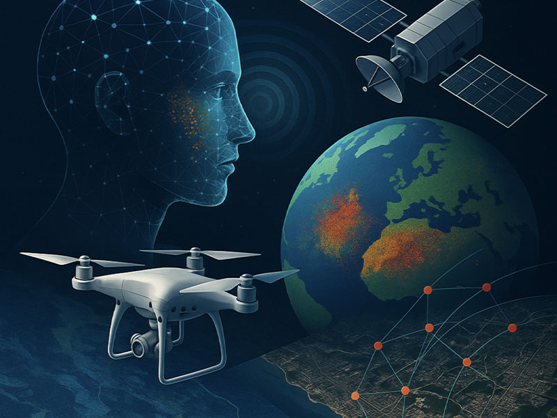
The anatomy of the word geospatial is broken into two parts; “Geo,” which refers to earth and “spatial,” which refers to relationships in space. This goes a long way in saying that geospatial technology involves the location, perception, measurement, classification, and identification of objects and features. Additionally, the technology portion is self-evident; this is everything from a pencil and paper to data-crunching supercomputers.
It is safe to say that virtually everything (i.e. land features, buildings, living things, compounds, etc.) in space and time has a place. Through current advantages and future discoveries associated with geospatial technologies, we can place, track, analyze, predict, and model those “things” for a variety of purposes.
A sampling of geospatial technologies are used in a multitude of technical and scientific endeavors to include aerial and satellite remote sensing, data derived from Global Positioning Systems (GPS), geographic information systems (GIS), statistical techniques, cartography for modeling and simulations, trending and pattern analysis, land usage, urban planning, and more. More commonly, geospatial technologies are applied in industries such as logistics, real estate, forestry, healthcare, transportation and so much more. Geospatial technologies are in use everyday across the globe by millions of people simultaneously complimenting our journey into the future.”