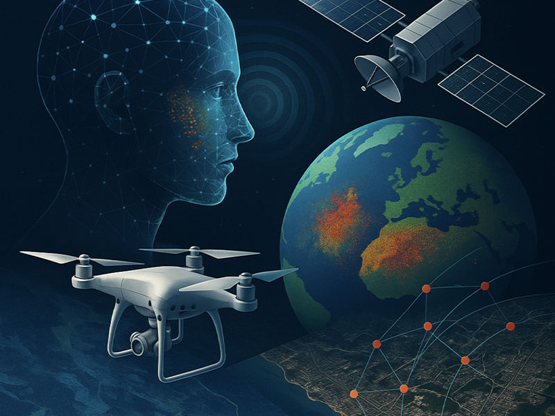
We’ve all seen the population maps tracking the prevalence of positive tests and hospitalizations, but did you know that those were created using GIS technology?
Here’s How GIS has helped us track the Covid Pandemic
In the beginning of the crisis, information was chaotic and often times incorrect regarding the prevalence and severity of the virus. It was a guessing game as to where the sickness would spread next. That was until Johns Hopkins University and their team of GIS specialists stepped up and gave us the comprehensive “Covid -19 Dashboard” we all know today. The key feature of the dashboard is that it simple enough for the average person to understand, making knowledge of the virus far more accessible.
Geospatial technology has been used before to track other epidemics in the past. The first known instance of this was in 1854 when Dr. John Snow tracked the spread of cholera in a highly populated part of London. Combining data from doctors and a physical map, his work is regarding as the first instance of using geospatial technology to track illness. His map served as a framework for later scientists, and we still use the principles today. Aside from tracking the rate of Covid, we’ve also been been to use GIS to better understand Ebola!

So how does it all work? Well in simple terms, scientists use what is called an interpolation map. So they gather all the known data from a specific area and estimate all the of unknown data to fill in any gaps. To give a micro-level example, scientists calculated the prevalence of Covid-19 on a state-by-state basis in the U.S., but there’s no way they could’ve recorded every possible case. Some people may not have gotten tested or their cases were unconfirmed. This means that the scientists must fill in the gaps using logic and probabilistic mathematics. It’s not a guessing game, it’s a highly accurate and analytical procedure. They use interpolation data to track the density of the virus in any given location, effectively allowing the average person to see the case rate of the areas around themselves or their loved ones!